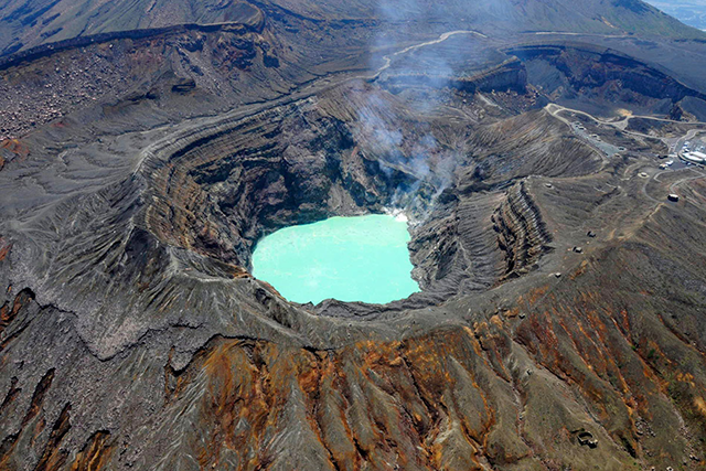
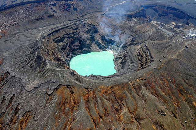
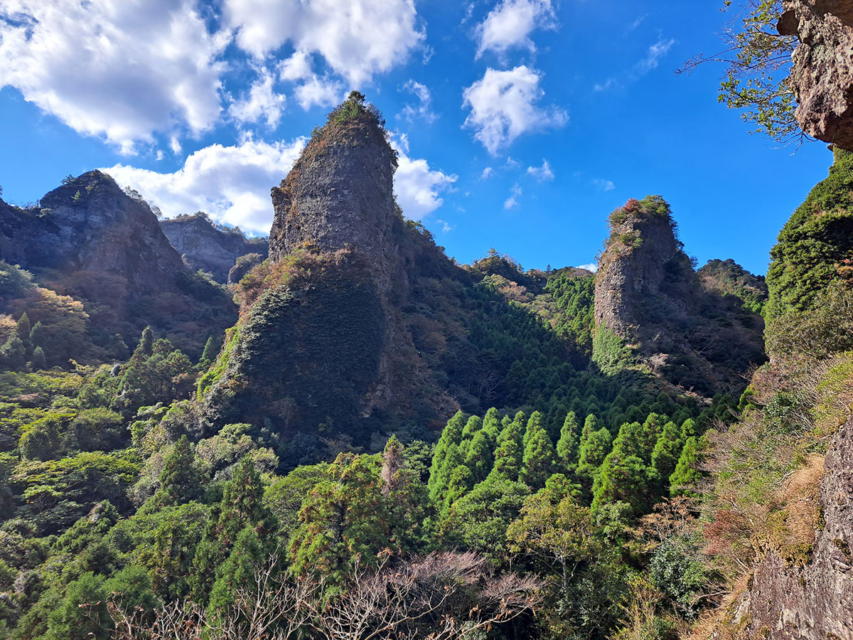
Kuju region


©AFLO
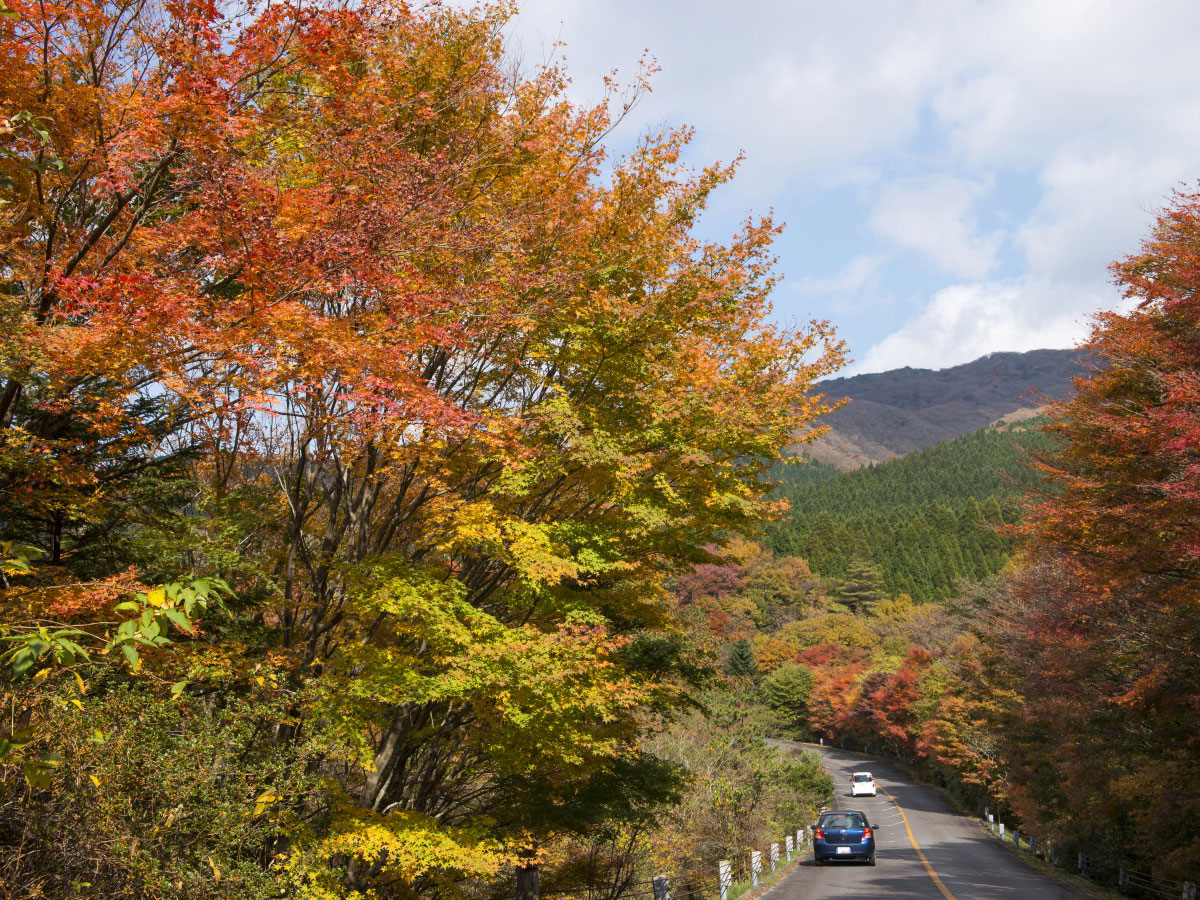
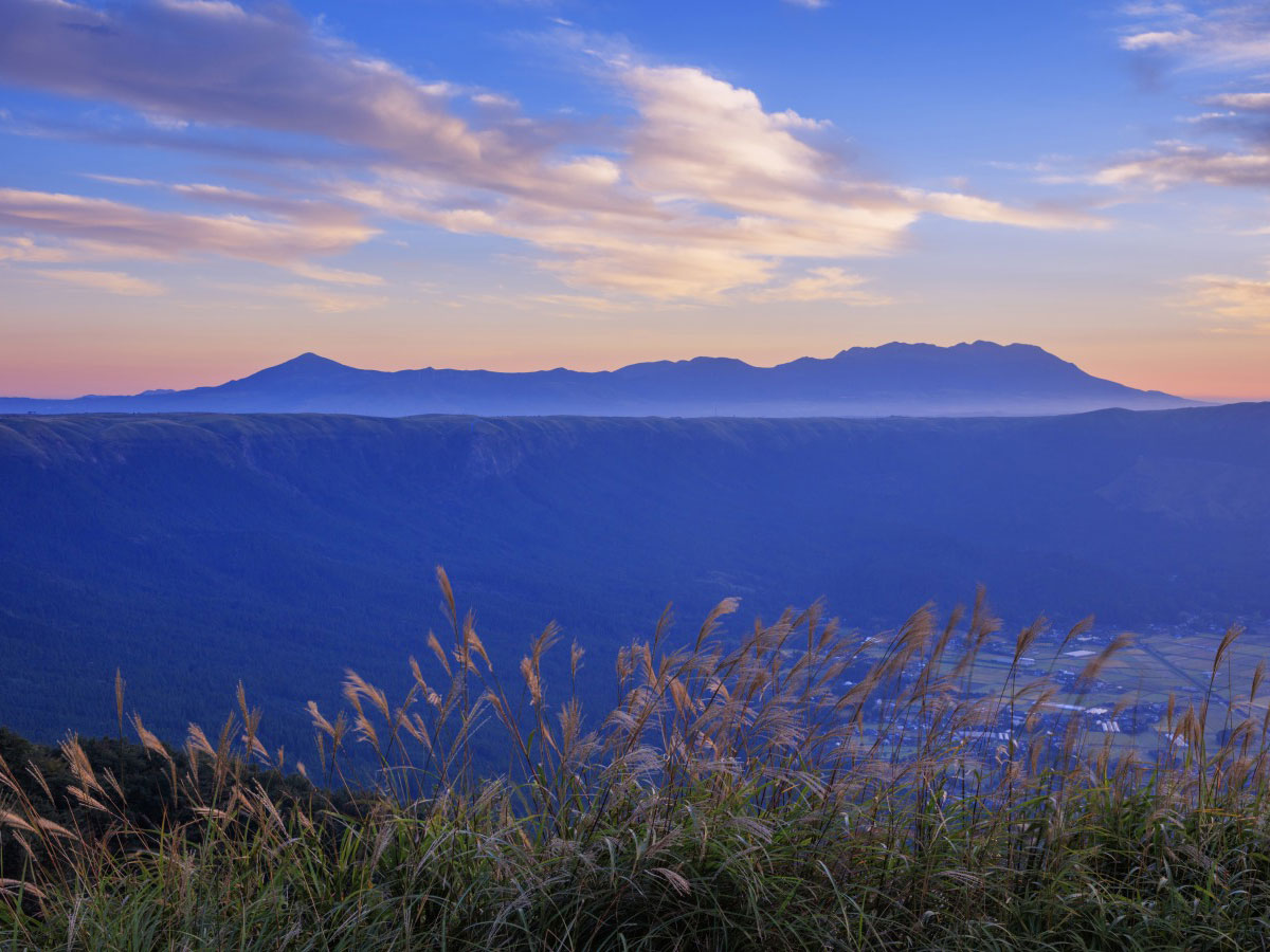
This region is rich in scenic spots, interspersed with beautiful grasslands and wetlands registered under the Ramsar Convention, such as Bogatsuru Marsh and Tadehara Marsh. The Kuju grasslands have been maintained by hand by the local people to prevent an overgrowth of trees. The field burning event that takes place in March every year protects this landscape.
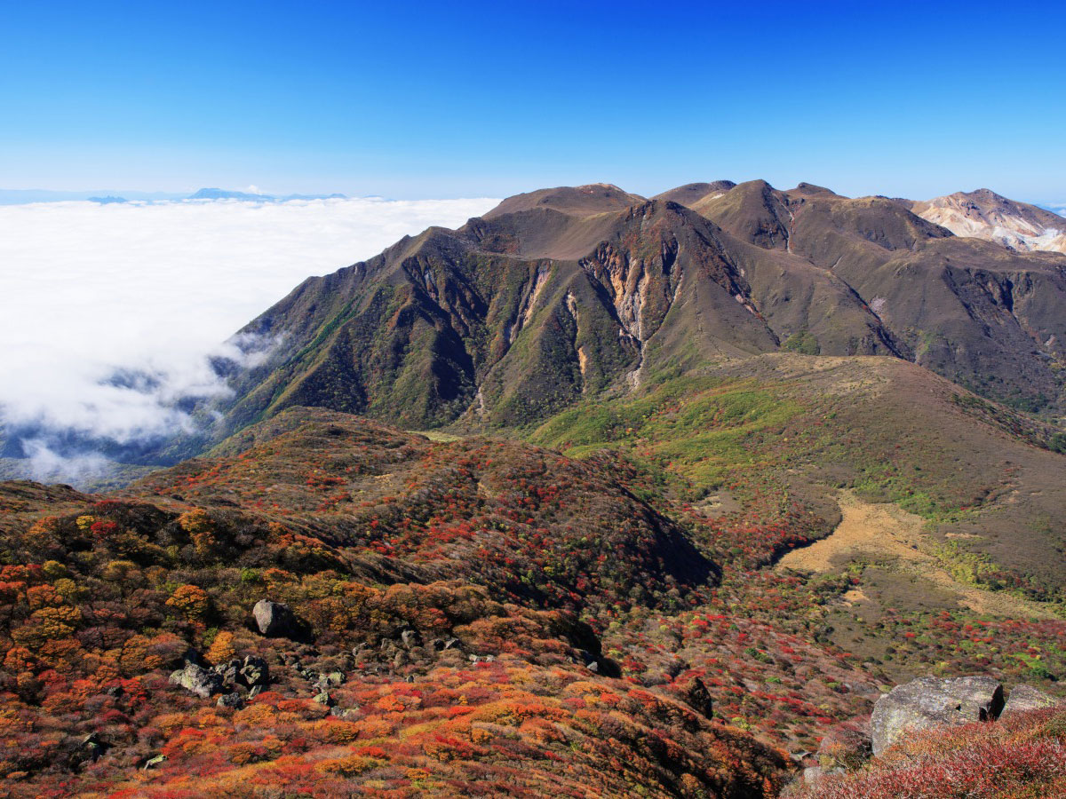
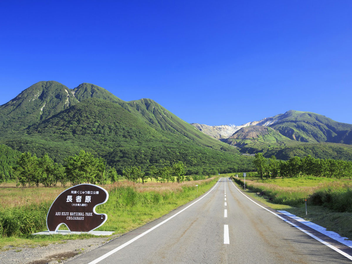
The Kuju mountain range stands at an altitude range of around 1,700m, including Mt. Nakadake, the highest peak in Kyushu. It is also known as the "roof of Kyushu."
The Kuju mountain range stands at an altitude range of around 1,700m, including Mt. Nakadake, the highest peak in Kyushu. It is also known as the "roof of Kyushu."
View scenic routes that include this spot
THE GLINT OF LIGHTS ON THE WATER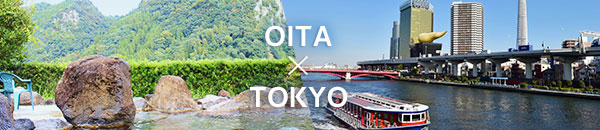
More Information about Kuju region
-
Street address
- Chojabaru, Tano, Kokonoe-machi, Kusu-gun, Oita (Chojabaru Visitor Center)
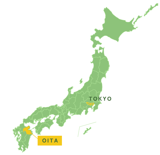
 About OITA
 -
Access
-
-
- Approximately 50 minutes by bus from JR Bungo Nakamura Station
-
-
Opening Hours
-
Closed
-
Best season
- -
-
Point
update: Sep.9.2025
Spots around
-
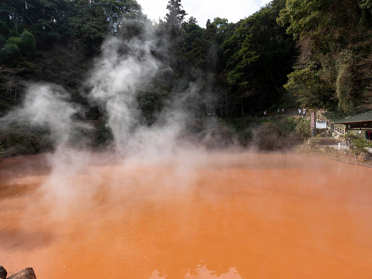
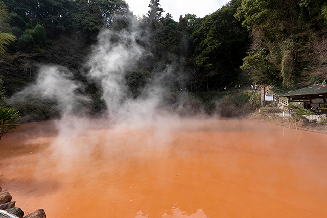
Beppu Jigoku Meguri (hell tour)
-
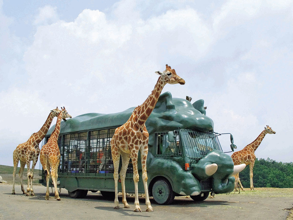
African Safari
-
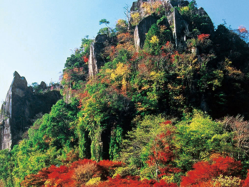
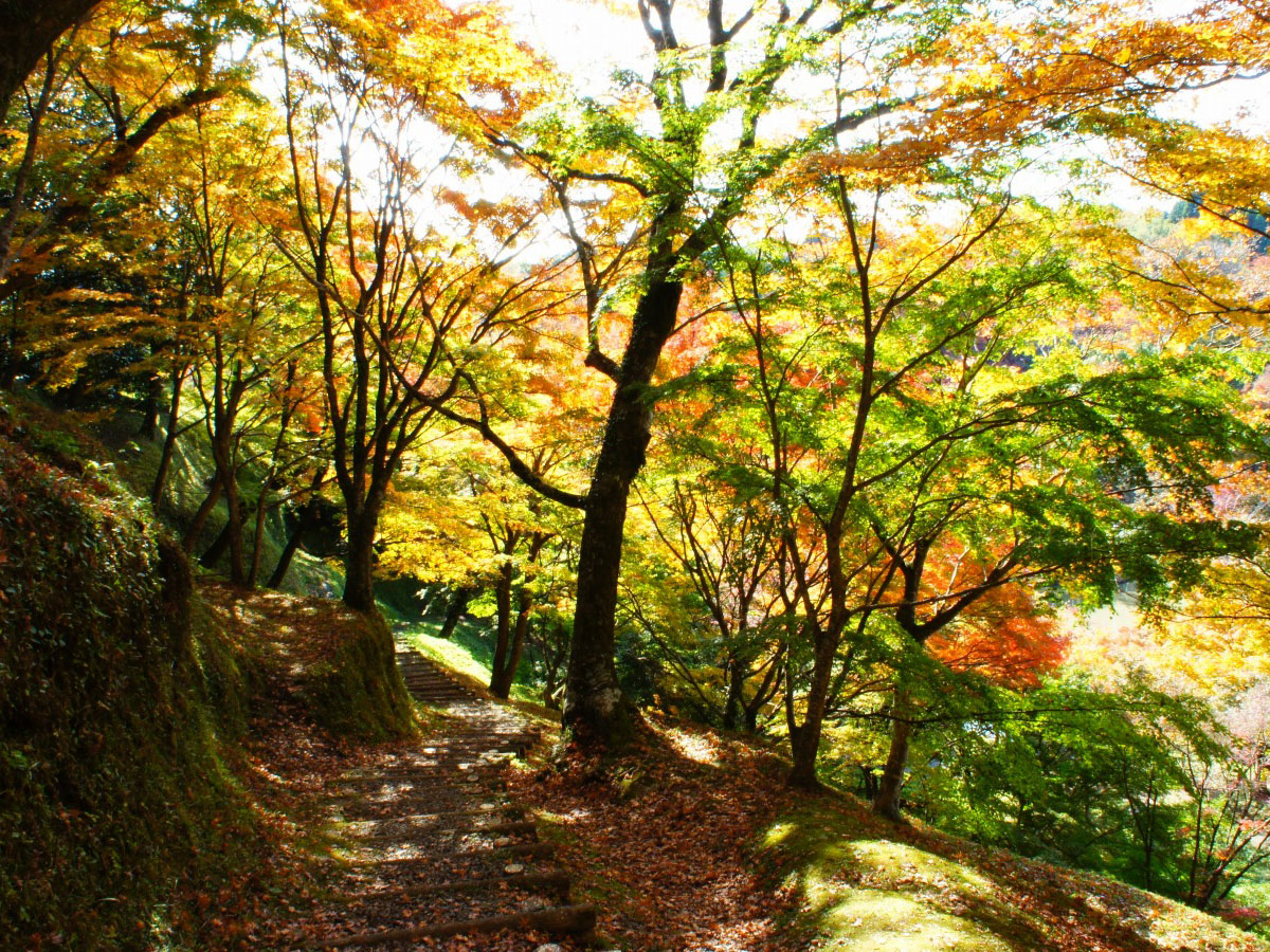
Yaba Gorge, Nakatsu (Red autumnal leaves)
-
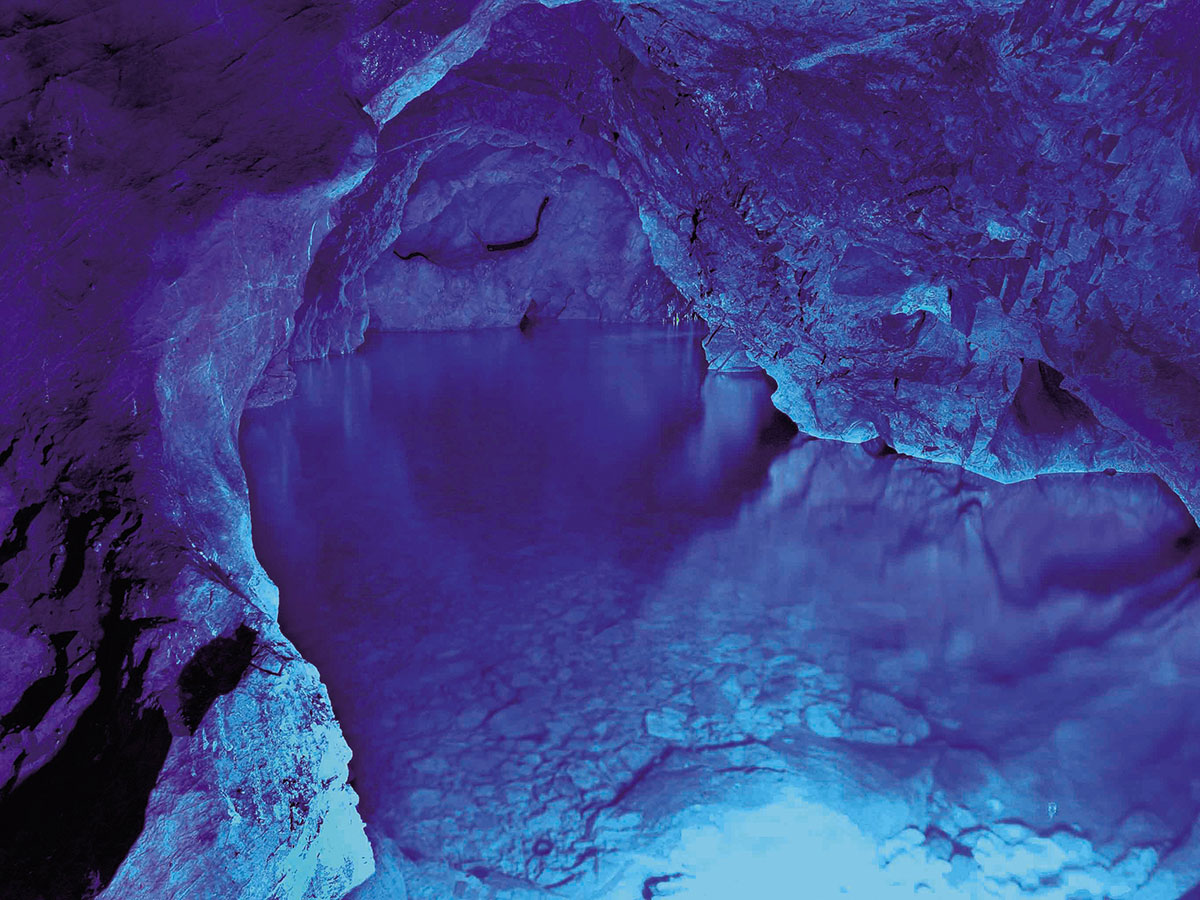
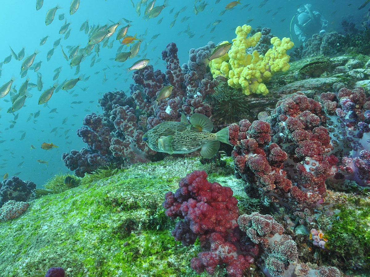
Inazumi Underwater Cave
-
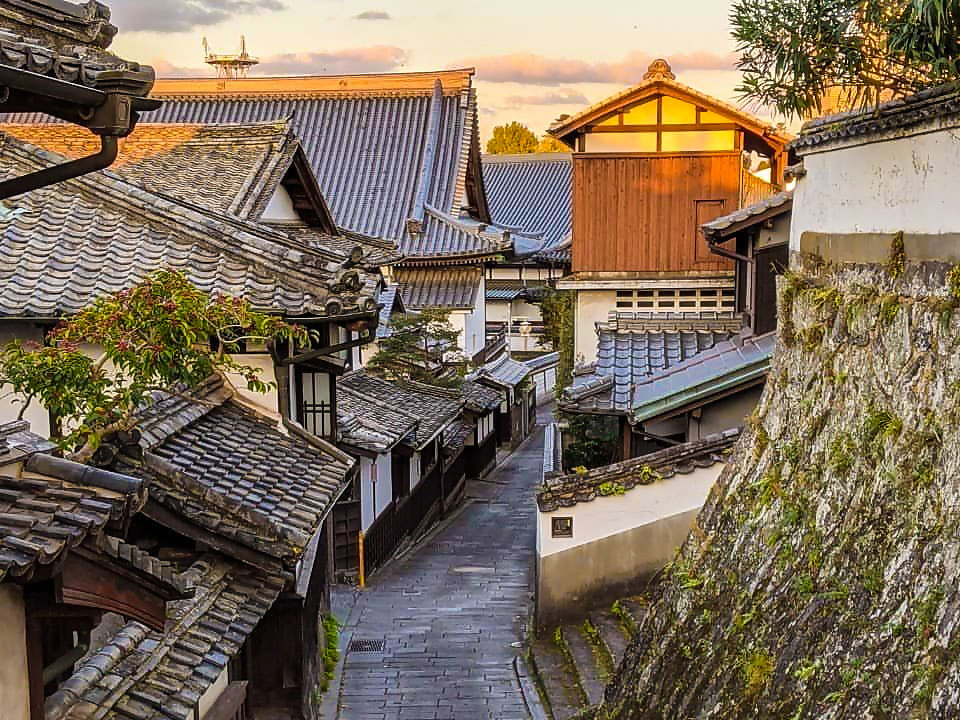
Usuki City's castle town walk (Nioza, Kani Shoyu, Kotegawa Brewery, etc.)
-
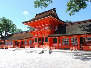
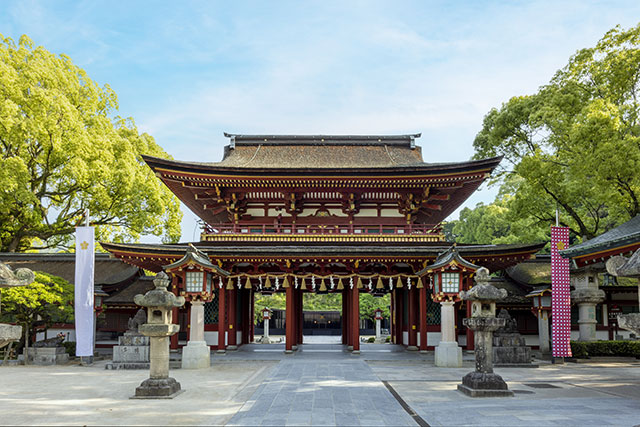
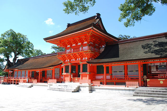
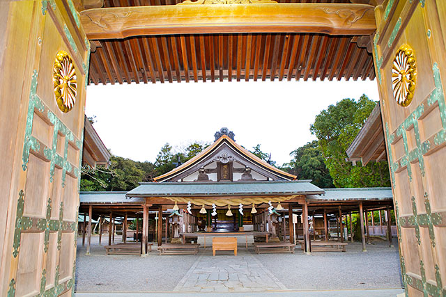
Usa Jingu Shrine
-
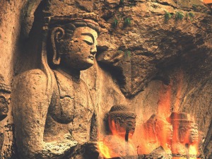
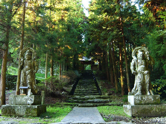
Usuki Stone Buddhas
-
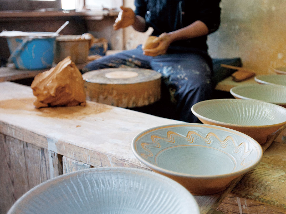
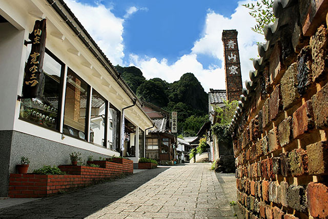
Ontayaki no Sato
-
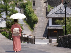
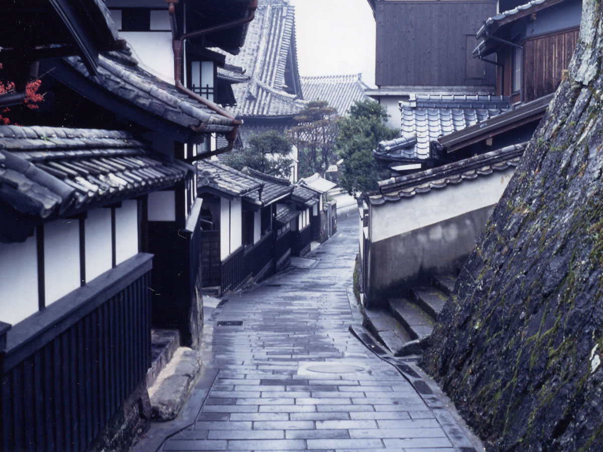
Kitsuki
-
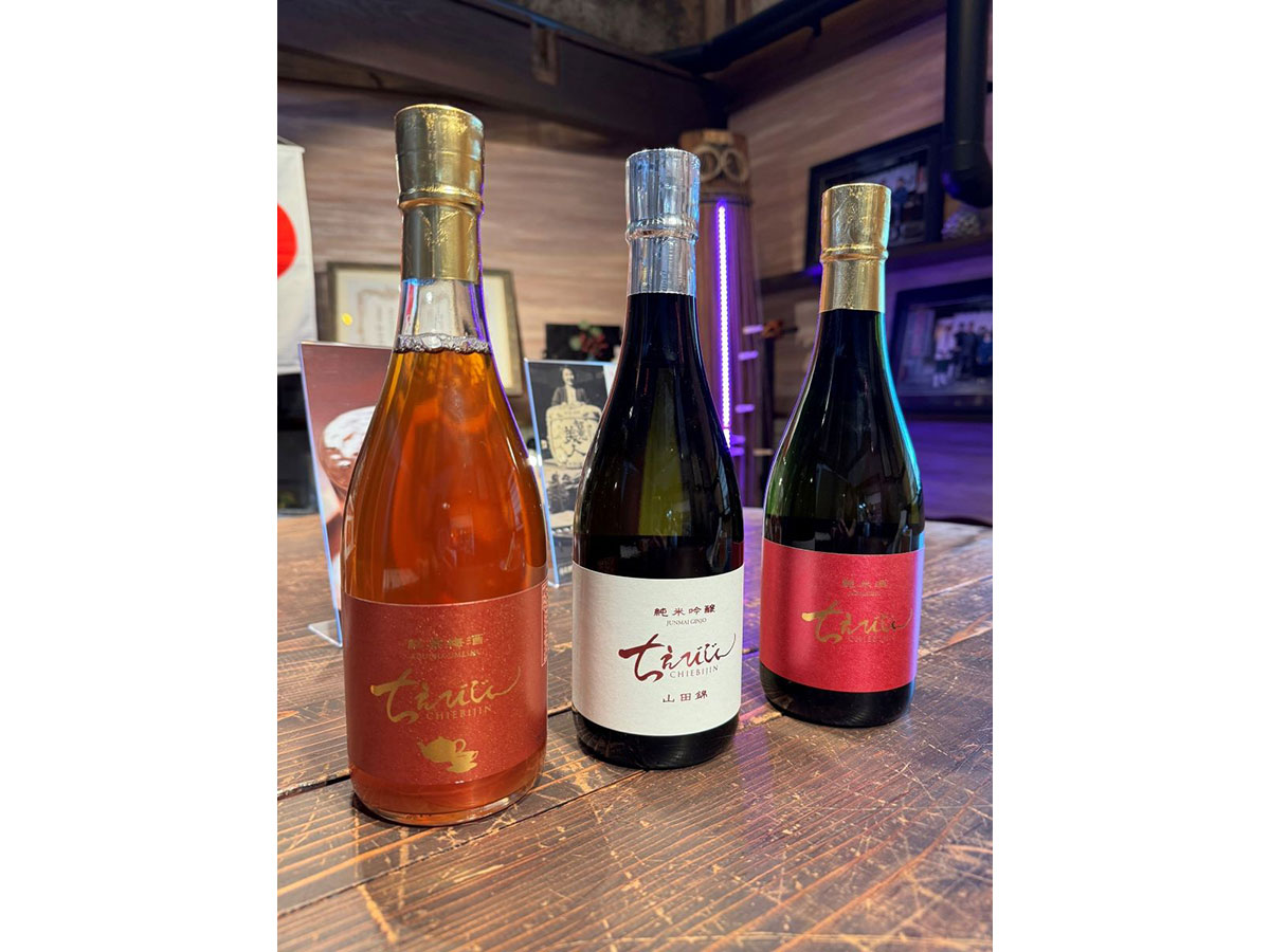
Nakano Sake Brewery
-
Futago-ji Temple
-
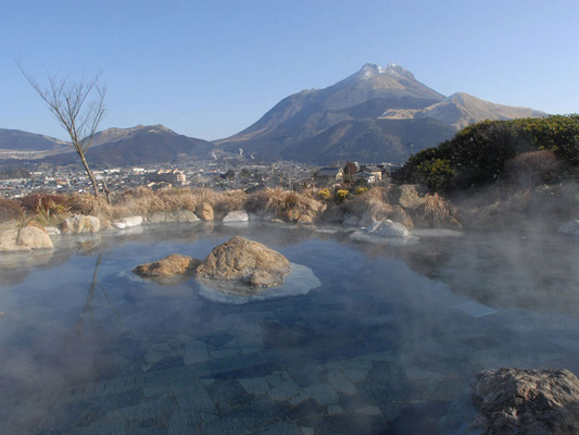
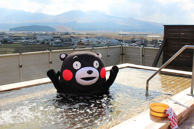
Yufuin Hot Spring
-
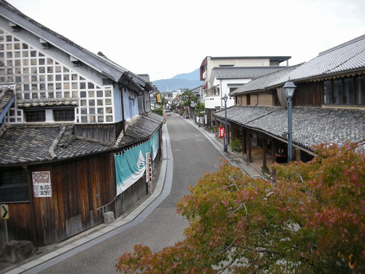
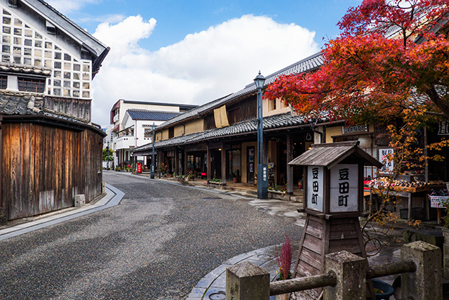
Mameda-machi
-
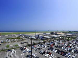
Oita Airport
-
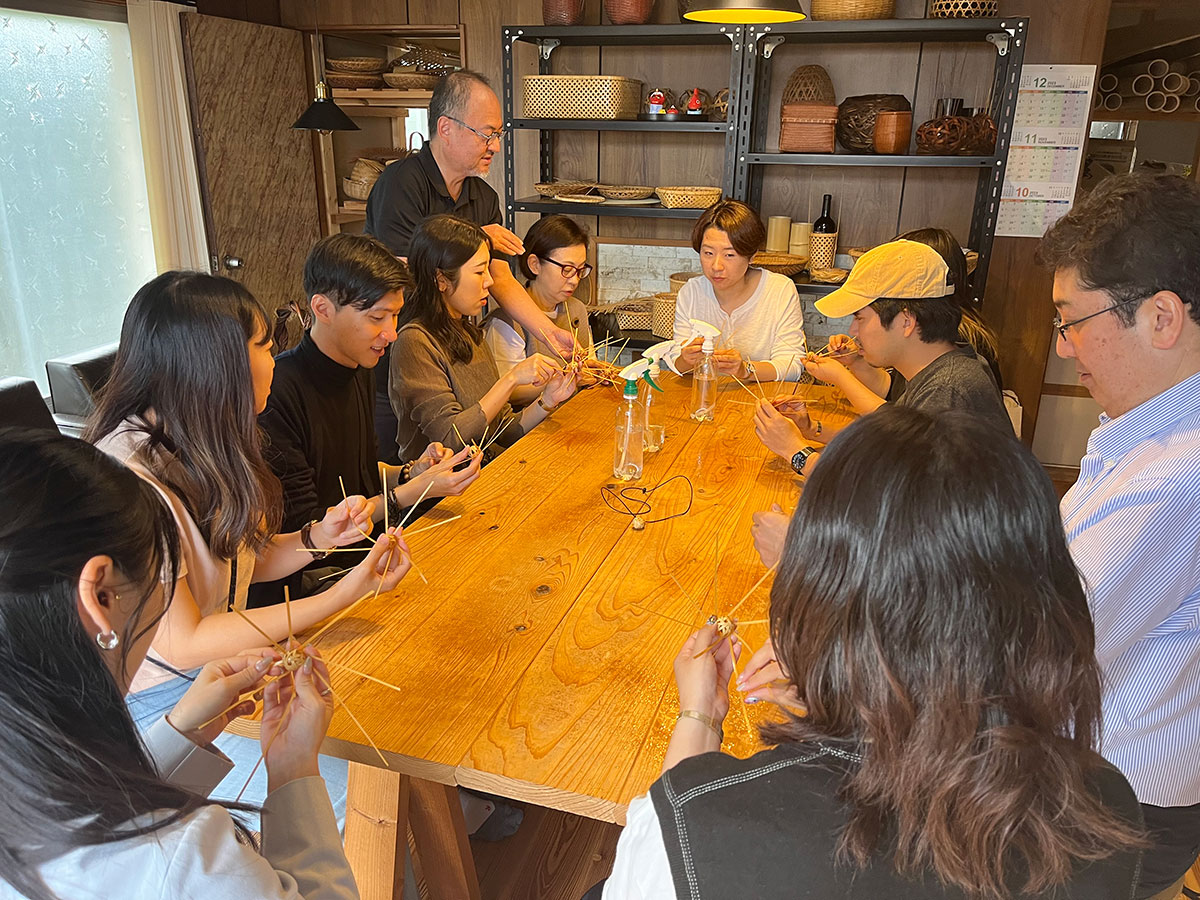
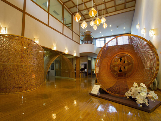
Chikufusha (bamboo craft-making experience)
-
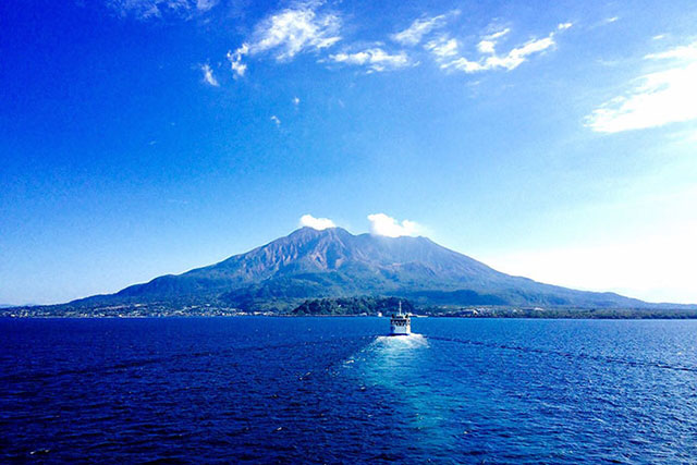
Fukashima Island
-
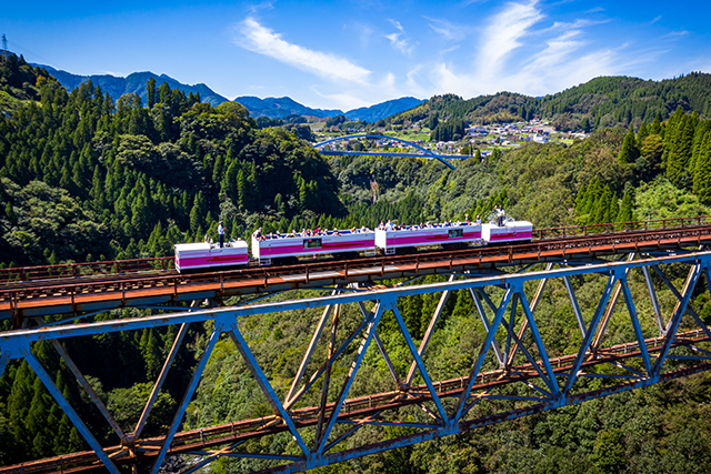
Kyushu OLLE (Okubungo Course)
-
kunisaki Peninsula Minemichi Long Trail
-
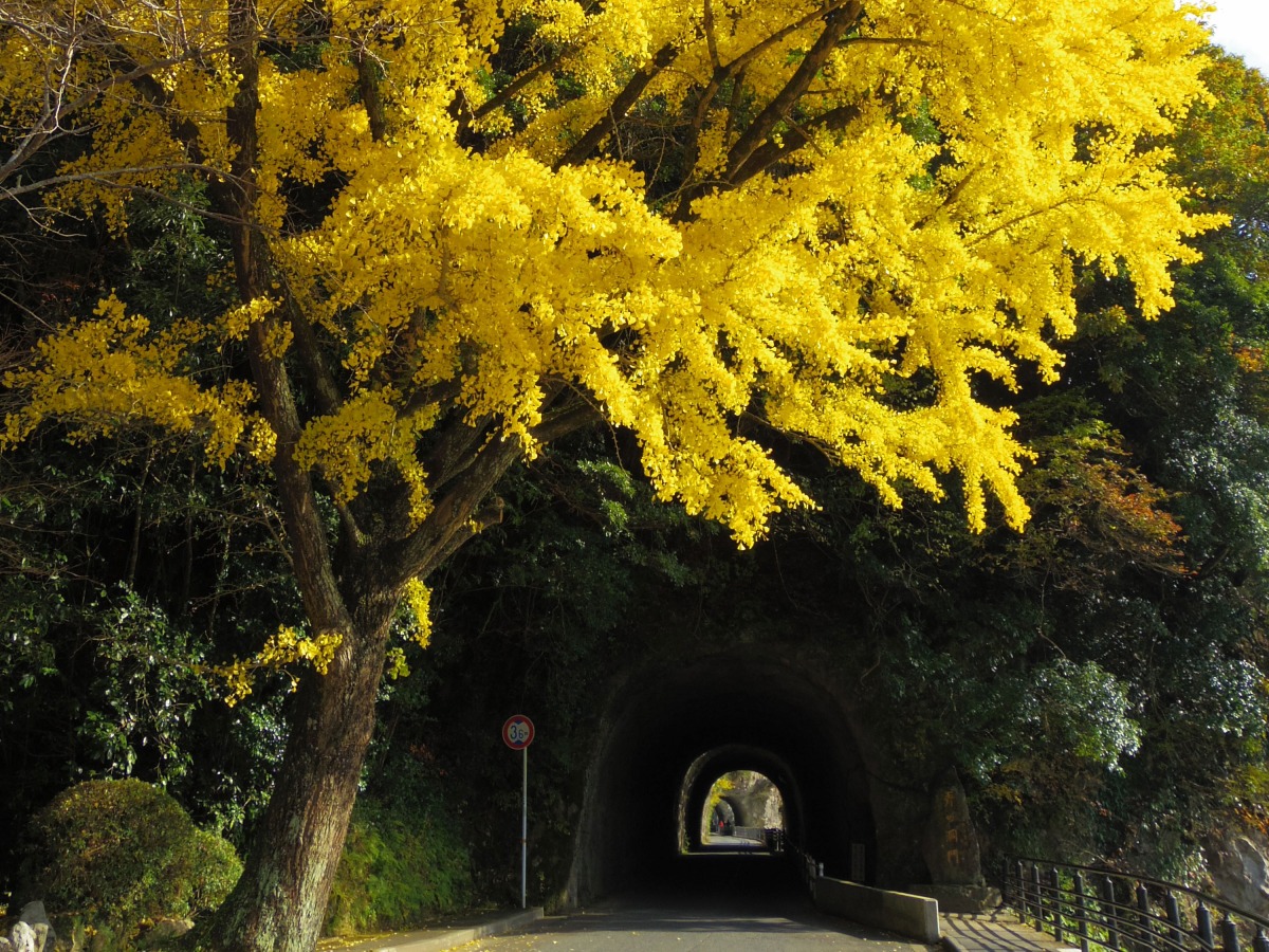
Ao-no-domon Tunnel
-
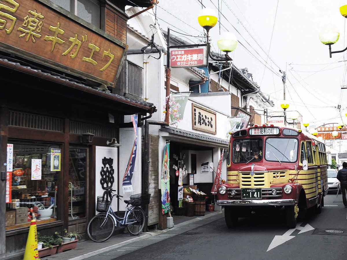
Showa Town
-
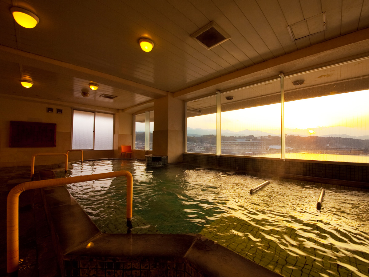
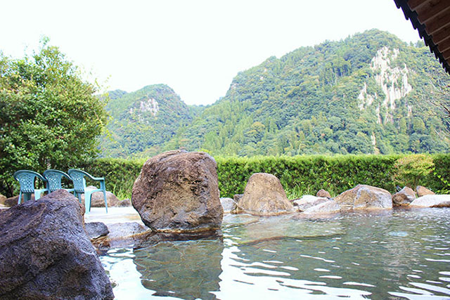
Hita Hot Spring
-
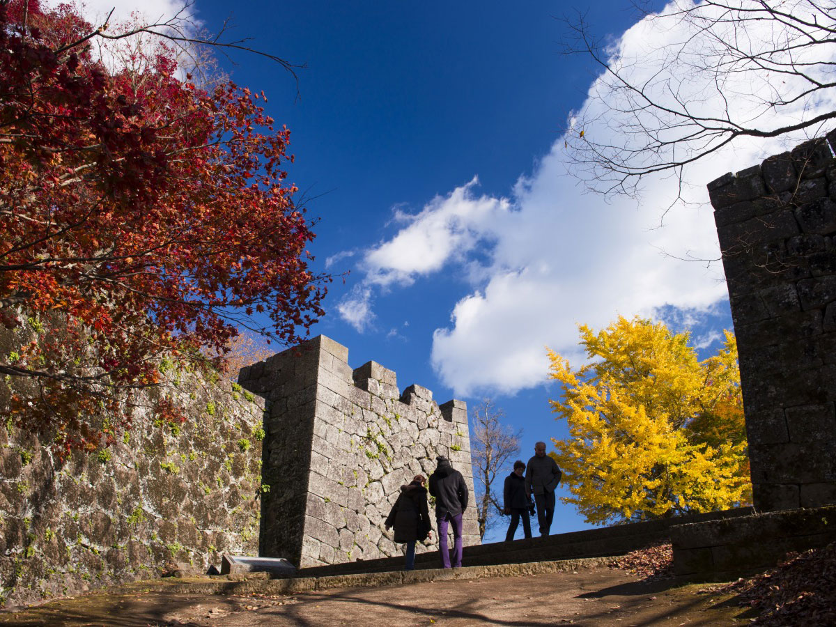
Oka Castle Ruins
-
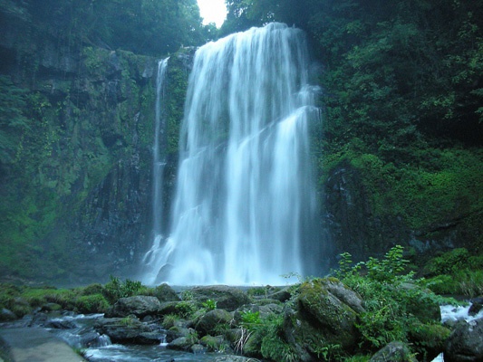
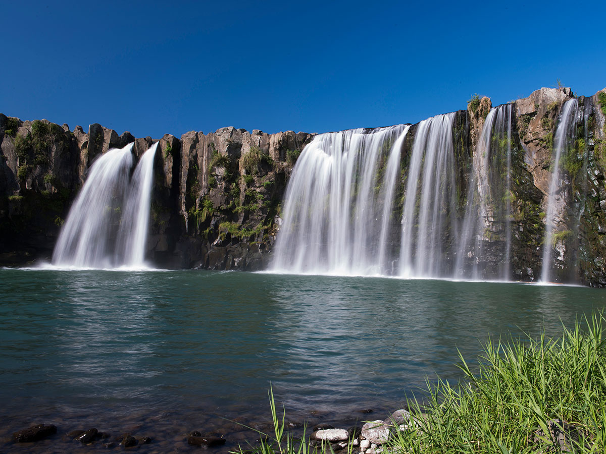
Sakuradaki Waterfall
-
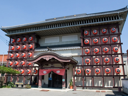
Hita Gion Yamaboko (Festival float) Hall
-
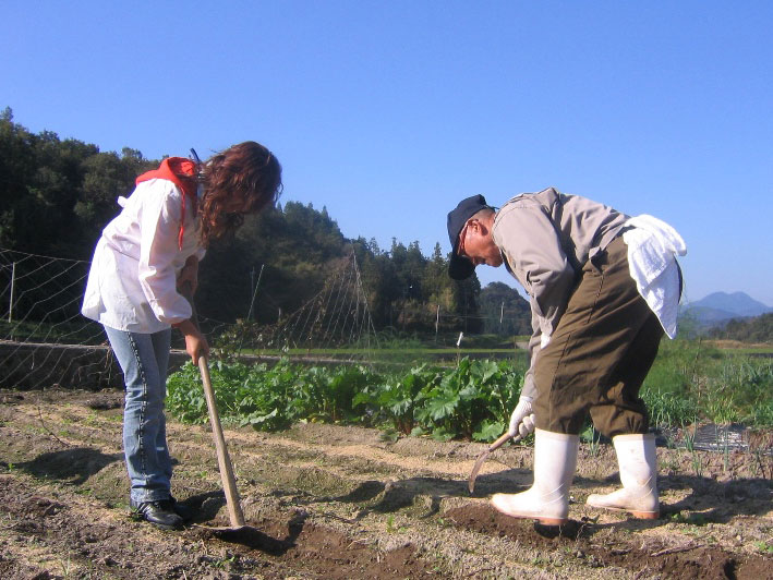
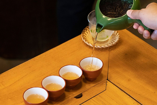
Kitchom san Village Green Tourism
-
Beppu City Traditional Bamboo Crafts Center
-
Nioza Historical Road
-
Geo Experience